

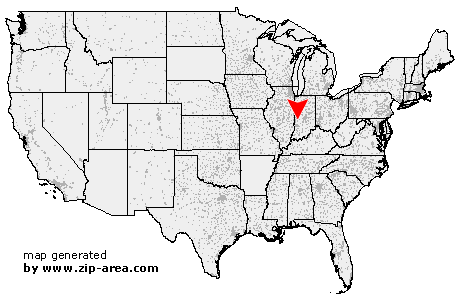
Knightsville
| Category: | City |
| State: | Indiana |
| County: | Clay |
| Area code: | 812 |
| FIPS code: | 18021 |
| Time zone: | EST |
| ZIP code: | 47857 |
|
calculate distance to another city

|
|
 Using the left mouse click, select the desired location on the map and you will receive a list of cities in the surrounding area. (Embed this map on your website.) |
Add the following HTML-code to your website: <a href="http://www.zip-area.com/indiana/knightsville/" target="_blank"><img src="http://www.zip-area.com/indiana/images/map_knightsville.png" alt="Knightsville"></a> |
Cities close to Knightsville |
|
| Fontanet (8.26 mi) | Staunton (5.22 mi) |
| Bridgeton (9.43 mi) | Brazil (1.76 mi) |
| Knightsville (0.00 mi) | Harmony (0.69 mi) |
| Carbon (3.86 mi) | Bowling Green (11.27 mi) |
| Poland (8.59 mi) | Reelsville (7.47 mi) |