

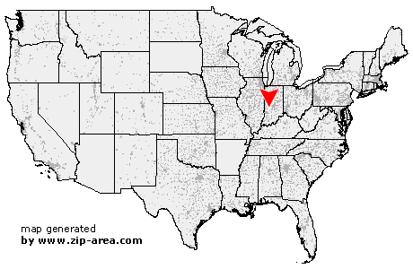
Putnamville
| Category: | City |
| State: | Indiana |
| County: | Putnam |
| Area code: | 765 |
| FIPS code: | 18133 |
| Time zone: | EST |
| ZIP code: | 46170 |
|
calculate distance to another city

|
|
 Using the left mouse click, select the desired location on the map and you will receive a list of cities in the surrounding area. (Embed this map on your website.) |
Add the following HTML-code to your website: <a href="http://www.zip-area.com/indiana/putnamville/" target="_blank"><img src="http://www.zip-area.com/indiana/images/map_putnamville.png" alt="Putnamville"></a> |
Cities close to Putnamville |
|
| Poland (10.39 mi) | Reelsville (5.56 mi) |
| Greencastle (7.67 mi) | Putnamville (NaN mi) |
| Quincy (10.43 mi) | Cloverdale (5.13 mi) |
| Fillmore (8.35 mi) | |