

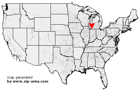
Rolling Prairie
| Category: | City |
| State: | Indiana |
| County: | La Porte |
| Area code: | 219 |
| FIPS code: | 18091 |
| Time zone: | CST |
| ZIP code: | 46371 |
|
calculate distance to another city

|
|
 Using the left mouse click, select the desired location on the map and you will receive a list of cities in the surrounding area. (Embed this map on your website.) |
Add the following HTML-code to your website: <a href="http://www.zip-area.com/indiana/rolling_prairie/" target="_blank"><img src="http://www.zip-area.com/indiana/images/map_rolling_prairie.png" alt="Rolling Prairie"></a> |
Cities close to Rolling Prairie |
|
| New Buffalo (9.80 mi) | LaPorte (8.06 mi) |
| Rolling Prairie (0.00 mi) | Three Oaks (9.97 mi) |
| Mill Creek (7.22 mi) | Galien (10.17 mi) |
| New Carlisle (6.29 mi) | |