

Clarksville
| Category: | City |
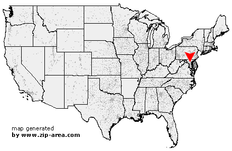
| State: | Maryland |
| County: | Howard |
| Area code: | 410 |
| FIPS code: | 24027 |
| Time zone: | EST |
| ZIP code: | 21029 |
|
calculate distance to another city

|
|
 Using the left mouse click, select the desired location on the map and you will receive a list of cities in the surrounding area. (Embed this map on your website.) |
Add the following HTML-code to your website: <a href="http://www.zip-area.com/maryland/clarksville/" target="_blank"><img src="http://www.zip-area.com/maryland/images/map_clarksville.png" alt="Clarksville"></a> |
Cities close to Clarksville |
|
| Lisbon (11.63 mi) | Woodbine (11.46 mi) |
| Olney (7.57 mi) | Suburb Maryland Fac (10.08 mi) |
| Brookeville (6.26 mi) | Glenelg (5.62 mi) |
| Sandy Spring (5.65 mi) | Glenwood (6.89 mi) |
| Brinklow (4.24 mi) | Cooksville (9.14 mi) |
| Dayton (3.89 mi) | Ashton (4.29 mi) |
| Spencerville (5.77 mi) | West Friendship (6.93 mi) |
| Highland (2.23 mi) | Clarksville (0.00 mi) |
| Burtonsville (6.34 mi) | Fulton (3.44 mi) |
| Laurel (8.09 mi) | Columbia (3.36 mi) |
| Simpsonville (3.56 mi) | Laurel (6.10 mi) |
| Woodstock (10.29 mi) | Savage (7.78 mi) |
| Laurel (10.08 mi) | Ellicott City (8.85 mi) |