

Waltham
| Category: | City |
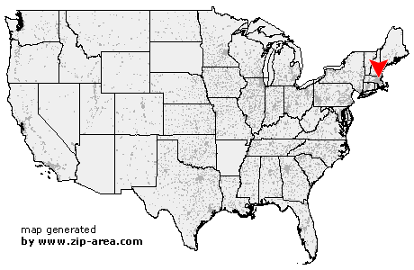
| State: | Massachusetts |
| County: | Middlesex |
| Area code: | 781 |
| FIPS code: | 25017 |
| Time zone: | EST |
| ZIP codes: | 02451, 02452, 02453, 02454 |
|
calculate distance to another city

|
|
 Using the left mouse click, select the desired location on the map and you will receive a list of cities in the surrounding area. (Embed this map on your website.) |
Add the following HTML-code to your website: <a href="http://www.zip-area.com/massachusetts/waltham/" target="_blank"><img src="http://www.zip-area.com/massachusetts/images/map_waltham.png" alt="Waltham"></a> |
Cities close to Waltham |
|
| Village of Nagog Woods (11.72 mi) | Concord (7.50 mi) |
| Wayland (5.78 mi) | Natick (9.10 mi) |
| Carlisle (10.21 mi) | Lincoln (3.20 mi) |
| Weston (3.44 mi) | Wellesley (7.65 mi) |
| Hanscom AFB (3.88 mi) | Bedford (6.72 mi) |
| Nutting Lake (9.64 mi) | Wellesley Hills (5.74 mi) |
| Babson Park (6.90 mi) | Waltham (0.00 mi) |
| Newton Lower Falls (4.67 mi) | Auburndale (3.61 mi) |
| Needham (8.57 mi) | Waban (5.09 mi) |
| Pinehurst (9.24 mi) | Needham Heights (7.21 mi) |
| West Newton (3.76 mi) | Newton Upper Falls (6.24 mi) |
| Lexington (4.58 mi) | Nonantum (4.98 mi) |
| Newton Highlands (6.13 mi) | Newtonville (4.16 mi) |
| Burlington (7.70 mi) | Waverley (3.28 mi) |
| Newton Center (6.72 mi) | Newton (4.86 mi) |
| Belmont (4.07 mi) | Watertown (4.63 mi) |
| West Roxbury (9.58 mi) | Chestnut Hill (7.61 mi) |
| Arlington (5.46 mi) | Brighton (6.27 mi) |
| Woburn (8.10 mi) | Arlington Heights (5.97 mi) |
| Winchester (6.82 mi) | Cambridge (6.48 mi) |
| Brookline (8.10 mi) | New Town (7.07 mi) |
| Allston (7.15 mi) | West Medford (6.99 mi) |
| Hyde Park (11.98 mi) | Roslindale (10.43 mi) |
| Brookline Village (8.25 mi) | |