

Huntington Woods
| Category: | City |
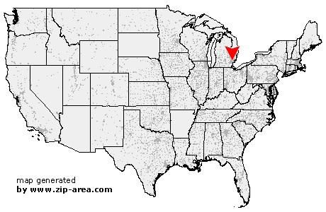
| State: | Michigan |
| County: | Oakland |
| Area code: | 248 |
| FIPS code: | 26125 |
| Time zone: | EST |
| ZIP code: | 48070 |
|
calculate distance to another city

|
|
 Using the left mouse click, select the desired location on the map and you will receive a list of cities in the surrounding area. (Embed this map on your website.) |
Add the following HTML-code to your website: <a href="http://www.zip-area.com/michigan/huntington_woods/" target="_blank"><img src="http://www.zip-area.com/michigan/images/map_huntington_woods.png" alt="Huntington Woods"></a> |
Cities close to Huntington Woods |
|
| Southfield (6.21 mi) | Redford (9.42 mi) |
| Bloomfield Hills (7.27 mi) | Franklin (5.69 mi) |
| Birmingham (4.98 mi) | Berkley (1.46 mi) |
| Oak Park (1.37 mi) | Huntington Woods (0.00 mi) |
| Clawson (3.87 mi) | Troy (8.64 mi) |
| Pleasant Ridge (1.40 mi) | Royal Oak (1.67 mi) |
| Ferndale (2.33 mi) | Madison Heights (3.79 mi) |
| Highland Park (5.29 mi) | Hazel Park (3.83 mi) |
| Sterling Heights (7.81 mi) | Detroit (10.83 mi) |
| Hamtramck (7.55 mi) | Center Line (7.18 mi) |