

Mapaville
| Category: | City |
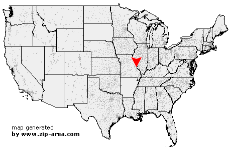
| State: | Missouri |
| County: | Jefferson |
| Area code: | 636 |
| FIPS code: | 29099 |
| Time zone: | CST |
| ZIP code: | 63065 |
|
calculate distance to another city

|
|
 Using the left mouse click, select the desired location on the map and you will receive a list of cities in the surrounding area. (Embed this map on your website.) |
Add the following HTML-code to your website: <a href="http://www.zip-area.com/missouri/mapaville/" target="_blank"><img src="http://www.zip-area.com/missouri/images/map_mapaville.png" alt="Mapaville"></a> |
Cities close to Mapaville |
|
| Hillsboro (7.72 mi) | Mapaville (0.00 mi) |
| Hematite (3.25 mi) | Barnhart (6.23 mi) |
| Imperial (9.99 mi) | Pevely (3.83 mi) |
| Festus (8.81 mi) | Liguori (7.72 mi) |
| Herculaneum (5.20 mi) | Kimmswick (10.14 mi) |
| Crystal City (5.87 mi) | |