

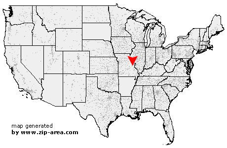
Robertsville
| Category: | City |
| State: | Missouri |
| County: | Franklin |
| Area code: | 636 |
| FIPS code: | 29071 |
| Time zone: | CST |
| ZIP code: | 63072 |
|
calculate distance to another city

|
|
 Using the left mouse click, select the desired location on the map and you will receive a list of cities in the surrounding area. (Embed this map on your website.) |
Add the following HTML-code to your website: <a href="http://www.zip-area.com/missouri/robertsville/" target="_blank"><img src="http://www.zip-area.com/missouri/images/map_robertsville.png" alt="Robertsville"></a> |
Cities close to Robertsville |
|
| Saint Clair (8.91 mi) | Villa Ridge (7.17 mi) |
| Luebbering (6.35 mi) | Robertsville (0.00 mi) |
| Lonedell (7.12 mi) | Catawissa (4.27 mi) |
| Grubville (5.80 mi) | Dittmer (7.27 mi) |
| Allenton (12.51 mi) | |