

Stanton
| Category: | City |
| State: | New Jersey |
| County: | Hunterdon |
| Area code: | 908 |
| FIPS code: | 34019 |
| Time zone: | EST |
| ZIP code: | 08885 |
|
calculate distance to another city

|
|
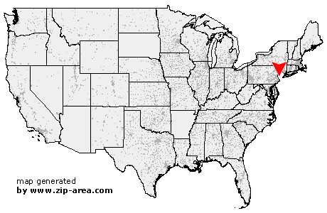 Using the left mouse click, select the desired location on the map and you will receive a list of cities in the surrounding area. (Embed this map on your website.) |
Add the following HTML-code to your website: <a href="http://www.zip-area.com/new_jersey/stanton/" target="_blank"><img src="http://www.zip-area.com/new_jersey/images/map_stanton.png" alt="Stanton"></a> |
Cities close to Stanton |
|
| Stockton (11.98 mi) | Pittstown (6.70 mi) |
| Hampton (9.16 mi) | Sergeantsville (10.51 mi) |
| Quakertown (5.47 mi) | Clinton (6.42 mi) |
| High Bridge (7.08 mi) | Annandale (4.58 mi) |
| Flemington (4.05 mi) | Stanton (0.00 mi) |
| Ringoes (9.25 mi) | Lebanon (5.17 mi) |
| Three Bridges (4.12 mi) | Califon (10.02 mi) |
| Whitehouse Station (4.70 mi) | Oldwick (8.25 mi) |
| Whitehouse (5.76 mi) | Readington (5.26 mi) |
| Neshanic Station (7.73 mi) | Pottersville (10.97 mi) |