

Whitehouse
| Category: | City |
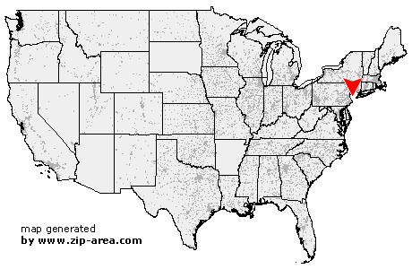
| State: | New Jersey |
| County: | Hunterdon |
| Area code: | 908 |
| FIPS code: | 34019 |
| Time zone: | EST |
| ZIP code: | 08888 |
|
calculate distance to another city

|
|
 Using the left mouse click, select the desired location on the map and you will receive a list of cities in the surrounding area. (Embed this map on your website.) |
Add the following HTML-code to your website: <a href="http://www.zip-area.com/new_jersey/whitehouse/" target="_blank"><img src="http://www.zip-area.com/new_jersey/images/map_whitehouse.png" alt="Whitehouse"></a> |
Cities close to Whitehouse |
|
| Annandale (7.22 mi) | Flemington (9.33 mi) |
| Stanton (5.76 mi) | Lebanon (4.33 mi) |
| Three Bridges (7.42 mi) | Califon (7.43 mi) |
| Whitehouse Station (1.08 mi) | Oldwick (3.76 mi) |
| Whitehouse (0.00 mi) | Readington (3.44 mi) |
| Neshanic Station (8.40 mi) | Pottersville (6.44 mi) |
| Flagtown (7.40 mi) | Bedminster (4.46 mi) |
| Gladstone (7.94 mi) | Somerville (6.18 mi) |
| Peapack (8.20 mi) | Raritan (6.22 mi) |
| Pluckemin (5.81 mi) | Hillsborough (10.21 mi) |
| Far Hills (8.48 mi) | Bridgewater (6.51 mi) |