

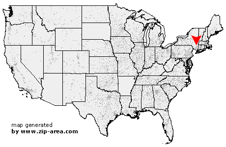
Staatsburg
| Category: | City |
| State: | New York |
| County: | Dutchess |
| Area code: | 845 |
| FIPS code: | 36027 |
| Time zone: | EST |
| ZIP code: | 12580 |
|
calculate distance to another city

|
|
 Using the left mouse click, select the desired location on the map and you will receive a list of cities in the surrounding area. (Embed this map on your website.) |
Add the following HTML-code to your website: <a href="http://www.zip-area.com/new_york/staatsburg/" target="_blank"><img src="http://www.zip-area.com/new_york/images/map_staatsburg.png" alt="Staatsburg"></a> |
Cities close to Staatsburg |
|
| Ulster Park (6.19 mi) | Connelly (6.72 mi) |
| Port Ewen (6.18 mi) | Esopus (4.95 mi) |
| West Park (6.04 mi) | Rhinecliff (5.77 mi) |
| Barrytown (9.88 mi) | Poughkeepsie (9.94 mi) |
| Hyde Park (3.76 mi) | Staatsburg (0.00 mi) |
| Rhinebeck (4.87 mi) | Salt Point (5.31 mi) |
| Pleasant Valley (9.56 mi) | Clinton Corners (5.70 mi) |