

Washingtonville
| Category: | City |
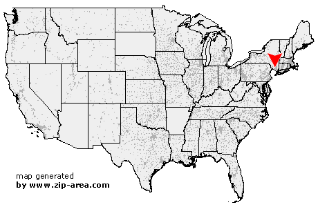
| State: | New York |
| County: | Orange |
| Area code: | 845 |
| FIPS code: | 36071 |
| Time zone: | EST |
| ZIP code: | 10992 |
|
calculate distance to another city

|
|
 Using the left mouse click, select the desired location on the map and you will receive a list of cities in the surrounding area. (Embed this map on your website.) |
Add the following HTML-code to your website: <a href="http://www.zip-area.com/new_york/washingtonville/" target="_blank"><img src="http://www.zip-area.com/new_york/images/map_washingtonville.png" alt="Washingtonville"></a> |
Cities close to Washingtonville |
|
| Montgomery (10.61 mi) | Sugar Loaf (9.32 mi) |
| Chester (6.97 mi) | Campbell Hall (4.86 mi) |
| Maybrook (5.27 mi) | Blooming Grove (1.48 mi) |
| Monroe (5.94 mi) | Washingtonville (0.00 mi) |
| Rock Tavern (3.94 mi) | Walden (9.54 mi) |
| Salisbury Mills (2.85 mi) | Central Valley (6.99 mi) |
| Highland Mills (5.11 mi) | Mountainville (4.69 mi) |
| New Windsor (5.83 mi) | Vails Gate (6.01 mi) |
| Newburgh (10.14 mi) | Cornwall (6.08 mi) |
| Highland Falls (9.04 mi) | |