

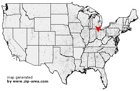
Alger
| Category: | City |
| State: | Ohio |
| County: | Hardin |
| Area code: | 419 |
| FIPS code: | 39065 |
| Time zone: | EST |
| ZIP code: | 45812 |
|
calculate distance to another city

|
|
 Using the left mouse click, select the desired location on the map and you will receive a list of cities in the surrounding area. (Embed this map on your website.) |
Add the following HTML-code to your website: <a href="http://www.zip-area.com/ohio/alger/" target="_blank"><img src="http://www.zip-area.com/ohio/images/map_alger.png" alt="Alger"></a> |
Cities close to Alger |
|
| New Hampshire (11.80 mi) | Lafayette (8.74 mi) |
| Waynesfield (8.77 mi) | Harrod (5.66 mi) |
| Roundhead (9.04 mi) | Ada (6.29 mi) |
| Alger (0.00 mi) | Mc Guffey (1.45 mi) |
| Dola (7.96 mi) | |