

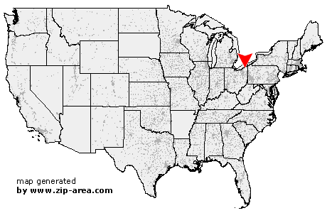
Montville
| Category: | City |
| State: | Ohio |
| County: | Geauga |
| Area code: | 440 |
| FIPS code: | 39055 |
| Time zone: | EST |
| ZIP code: | 44064 |
|
calculate distance to another city

|
|
 Using the left mouse click, select the desired location on the map and you will receive a list of cities in the surrounding area. (Embed this map on your website.) |
Add the following HTML-code to your website: <a href="http://www.zip-area.com/ohio/montville/" target="_blank"><img src="http://www.zip-area.com/ohio/images/map_montville.png" alt="Montville"></a> |
Cities close to Montville |
|
| East Claridon (6.07 mi) | Huntsburg (4.18 mi) |
| Thompson (5.15 mi) | Montville (0.00 mi) |
| Middlefield (9.83 mi) | Windsor (5.33 mi) |
| Mesopotamia (11.05 mi) | |