

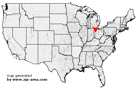
Port Jefferson
| Category: | City |
| State: | Ohio |
| County: | Shelby |
| Area code: | 937 |
| FIPS code: | 39149 |
| Time zone: | EST |
| ZIP code: | 45360 |
|
calculate distance to another city

|
|
 Using the left mouse click, select the desired location on the map and you will receive a list of cities in the surrounding area. (Embed this map on your website.) |
Add the following HTML-code to your website: <a href="http://www.zip-area.com/ohio/port_jefferson/" target="_blank"><img src="http://www.zip-area.com/ohio/images/map_port_jefferson.png" alt="Port Jefferson"></a> |
Cities close to Port Jefferson |
|
| Anna (8.00 mi) | Botkins (10.50 mi) |
| Sidney (4.54 mi) | Port Jefferson (0.00 mi) |
| Jackson Center (8.92 mi) | Maplewood (3.91 mi) |
| Pemberton (3.93 mi) | Quincy (6.72 mi) |
| Rosewood (10.37 mi) | |