

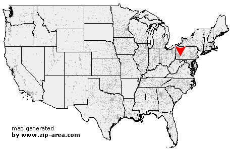
Stahlstown
| Category: | City |
| State: | Pennsylvania |
| County: | Westmoreland |
| Area code: | 724 |
| FIPS code: | 42129 |
| Time zone: | EST |
| ZIP code: | 15687 |
|
calculate distance to another city

|
|
 Using the left mouse click, select the desired location on the map and you will receive a list of cities in the surrounding area. (Embed this map on your website.) |
Add the following HTML-code to your website: <a href="http://www.zip-area.com/pennsylvania/stahlstown/" target="_blank"><img src="http://www.zip-area.com/pennsylvania/images/map_stahlstown.png" alt="Stahlstown"></a> |
Cities close to Stahlstown |
|
| Whitney (10.02 mi) | Normalville (8.98 mi) |
| Hostetter (10.45 mi) | Indian Head (9.18 mi) |
| Donegal (4.84 mi) | Melcroft (5.68 mi) |
| Champion (6.43 mi) | Jones Mills (4.71 mi) |
| Stahlstown (0.00 mi) | Ligonier (8.29 mi) |
| Rector (5.42 mi) | Laughlintown (8.09 mi) |