

Unionville
| Category: | City |
| State: | Pennsylvania |
| County: | Chester |
| Area code: | 610 |
| FIPS code: | 42029 |
| Time zone: | EST |
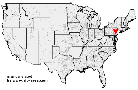
| ZIP code: | 19375 |
|
calculate distance to another city

|
|
 Using the left mouse click, select the desired location on the map and you will receive a list of cities in the surrounding area. (Embed this map on your website.) |
Add the following HTML-code to your website: <a href="http://www.zip-area.com/pennsylvania/unionville/" target="_blank"><img src="http://www.zip-area.com/pennsylvania/images/map_unionville.png" alt="Unionville"></a> |
Cities close to Unionville |
|
| Kelton (9.64 mi) | New London (10.83 mi) |
| Wagontown (9.82 mi) | West Grove (6.90 mi) |
| Coatesville (7.31 mi) | Chatham (5.46 mi) |
| Modena (5.76 mi) | Landenberg (9.74 mi) |
| Avondale (5.43 mi) | Thorndale (7.35 mi) |
| Toughkenamon (4.48 mi) | Unionville (0.00 mi) |
| Downingtown (8.97 mi) | Kennett Square (2.46 mi) |
| Hockessin (8.17 mi) | Yorklyn (6.73 mi) |
| Mendenhall (5.70 mi) | Chadds Ford (6.24 mi) |
| Pocopson (5.74 mi) | Lionville (10.97 mi) |
| Winterthur (9.10 mi) | West Chester (9.06 mi) |
| Montchanin (10.60 mi) | |