

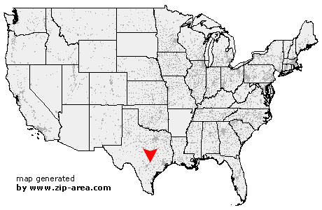
Prairie Lea
| Category: | City |
| State: | Texas |
| County: | Caldwell |
| Area code: | 512 |
| FIPS code: | 48055 |
| Time zone: | CST |
| ZIP code: | 78661 |
|
calculate distance to another city

|
|
 Using the left mouse click, select the desired location on the map and you will receive a list of cities in the surrounding area. (Embed this map on your website.) |
Add the following HTML-code to your website: <a href="http://www.zip-area.com/texas/prairie_lea/" target="_blank"><img src="http://www.zip-area.com/texas/images/map_prairie_lea.png" alt="Prairie Lea"></a> |
Cities close to Prairie Lea |
|
| Staples (5.97 mi) | Kingsbury (4.21 mi) |
| Fentress (2.11 mi) | Martindale (4.36 mi) |
| Prairie Lea (0.00 mi) | Luling (6.67 mi) |