

Charlton Heights
| Category: | City |
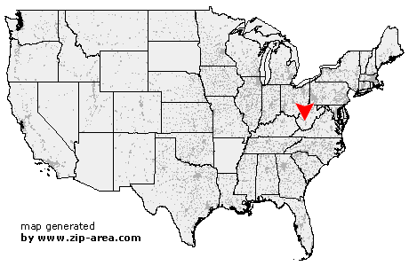
| State: | West Virginia |
| County: | Fayette |
| Area code: | 304 |
| FIPS code: | 54019 |
| Time zone: | EST |
| ZIP code: | 25040 |
|
calculate distance to another city

|
|
 Using the left mouse click, select the desired location on the map and you will receive a list of cities in the surrounding area. (Embed this map on your website.) |
Add the following HTML-code to your website: <a href="http://www.zip-area.com/west_virginia/charlton_heights/" target="_blank"><img src="http://www.zip-area.com/west_virginia/images/map_charlton_heights.png" alt="Charlton Heights"></a> |
Cities close to Charlton Heights |
|
| Hugheston (9.56 mi) | London (8.80 mi) |
| Hansford (7.35 mi) | Handley (8.37 mi) |
| Cedar Grove (8.70 mi) | Mammoth (11.79 mi) |
| Powellton (5.03 mi) | Kimberly (4.25 mi) |
| Smithers (4.84 mi) | Cannelton (5.93 mi) |
| Mount Carbon (3.34 mi) | Boomer (3.45 mi) |
| Montgomery (4.92 mi) | Alloy (2.39 mi) |
| Page (5.27 mi) | Kincaid (7.03 mi) |
| Deep Water (1.49 mi) | Robson (2.09 mi) |
| Charlton Heights (0.00 mi) | Mount Olive (7.91 mi) |
| Glen Ferris (2.28 mi) | Dixie (10.31 mi) |
| Gauley Bridge (4.44 mi) | Summerlee (9.29 mi) |
| Kanawha Falls (4.14 mi) | Lochgelly (9.18 mi) |
| Belva (10.87 mi) | Jodie (7.48 mi) |
| Ansted (7.93 mi) | |