

National City
| Category: | City |
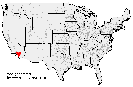
| State: | California |
| County: | San Diego |
| Area code: | 619 |
| FIPS code: | 06073 |
| Time zone: | PST |
| ZIP codes: | 91950, 91951 |
|
calculate distance to another city

|
|
 Using the left mouse click, select the desired location on the map and you will receive a list of cities in the surrounding area. (Embed this map on your website.) |
Add the following HTML-code to your website: <a href="http://www.zip-area.com/california/national_city/" target="_blank"><img src="http://www.zip-area.com/california/images/map_national_city.png" alt="National City"></a> |
Cities close to National City |
|
| Coronado (5.07 mi) | San Diego (6.01 mi) |
| Imperial Beach (6.86 mi) | National City (0.00 mi) |
| Lincoln Acres (1.17 mi) | Chula Vista (4.34 mi) |
| Lemon Grove (5.50 mi) | Bonita (5.24 mi) |
| La Mesa (8.22 mi) | Spring Valley (8.23 mi) |
| San Ysidro (9.93 mi) | |