

Rowland Heights
| Category: | City |
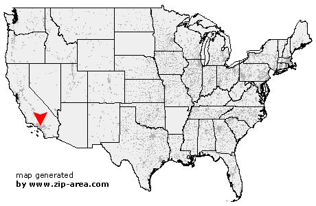
| State: | California |
| County: | Los Angeles |
| Area code: | 626 |
| FIPS code: | 06037 |
| Time zone: | PST |
| ZIP code: | 91748 |
|
calculate distance to another city

|
|
 Using the left mouse click, select the desired location on the map and you will receive a list of cities in the surrounding area. (Embed this map on your website.) |
Add the following HTML-code to your website: <a href="http://www.zip-area.com/california/rowland_heights/" target="_blank"><img src="http://www.zip-area.com/california/images/map_rowland_heights.png" alt="Rowland Heights"></a> |
Cities close to Rowland Heights |
|
| La Palma (12.29 mi) | Whittier (7.78 mi) |
| El Monte (9.87 mi) | Buena Park (11.49 mi) |
| La Mirada (8.48 mi) | Hacienda Heights (4.36 mi) |
| Baldwin Park (8.54 mi) | City of Industry (4.05 mi) |
| Anaheim (10.11 mi) | La Habra (4.16 mi) |
| West Covina (6.04 mi) | La Puente (3.67 mi) |
| Covina (7.79 mi) | Rowland Heights (0.00 mi) |
| Fullerton (7.31 mi) | Brea (4.20 mi) |
| Walnut (3.09 mi) | Placentia (7.69 mi) |
| Glendora (9.62 mi) | Atwood (9.19 mi) |
| Diamond Bar (4.97 mi) | San Dimas (10.07 mi) |
| Yorba Linda (8.80 mi) | |