

Kouts
| Category: | City |
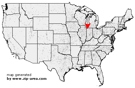
| State: | Indiana |
| County: | Porter |
| Area code: | 219 |
| FIPS code: | 18127 |
| Time zone: | CST |
| ZIP code: | 46347 |
|
calculate distance to another city

|
|
 Using the left mouse click, select the desired location on the map and you will receive a list of cities in the surrounding area. (Embed this map on your website.) |
Add the following HTML-code to your website: <a href="http://www.zip-area.com/indiana/kouts/" target="_blank"><img src="http://www.zip-area.com/indiana/images/map_kouts.png" alt="Kouts"></a> |
Cities close to Kouts |
|
| Boone Grove (7.33 mi) | Wheatfield (8.77 mi) |
| Kouts (0.00 mi) | Tefft (7.27 mi) |
| San Pierre (9.27 mi) | Wanatah (10.54 mi) |