

Manchaug
| Category: | City |
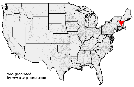
| State: | Massachusetts |
| County: | Worcester |
| Area code: | 508 |
| FIPS code: | 25027 |
| Time zone: | EST |
| ZIP code: | 01526 |
|
calculate distance to another city

|
|
 Using the left mouse click, select the desired location on the map and you will receive a list of cities in the surrounding area. (Embed this map on your website.) |
Add the following HTML-code to your website: <a href="http://www.zip-area.com/massachusetts/manchaug/" target="_blank"><img src="http://www.zip-area.com/massachusetts/images/map_manchaug.png" alt="Manchaug"></a> |
Cities close to Manchaug |
|
| Cherry Valley (11.93 mi) | Oxford (5.88 mi) |
| Webster (5.90 mi) | Auburn (8.65 mi) |
| Thompson (9.59 mi) | West Millbury (6.26 mi) |
| Millbury (6.90 mi) | Sutton (2.69 mi) |
| Douglas (2.88 mi) | Manchaug (0.00 mi) |
| Pascoag (8.49 mi) | South Grafton (6.28 mi) |
| North Grafton (10.20 mi) | Grafton (8.27 mi) |
| Whitinsville (4.59 mi) | Harrisville (9.36 mi) |
| Linwood (5.27 mi) | North Uxbridge (5.48 mi) |
| Oakland (10.58 mi) | Northbridge (6.43 mi) |
| Uxbridge (6.27 mi) | Glendale (10.08 mi) |
| Upton (9.31 mi) | |