

Montville
| Category: | City |
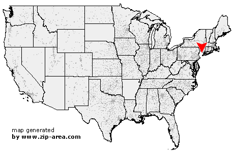
| State: | New Jersey |
| County: | Morris |
| Area code: | 973 |
| FIPS code: | 34027 |
| Time zone: | EST |
| ZIP code: | 07045 |
|
calculate distance to another city

|
|
 Using the left mouse click, select the desired location on the map and you will receive a list of cities in the surrounding area. (Embed this map on your website.) |
Add the following HTML-code to your website: <a href="http://www.zip-area.com/new_jersey/montville/" target="_blank"><img src="http://www.zip-area.com/new_jersey/images/map_montville.png" alt="Montville"></a> |
Cities close to Montville |
|
| Morristown (11.24 mi) | Hibernia (6.79 mi) |
| Denville (6.35 mi) | Rockaway (7.01 mi) |
| Morris Plains (7.56 mi) | Mount Tabor (6.76 mi) |
| Cedar Knolls (7.70 mi) | Mountain Lakes (4.13 mi) |
| Newfoundland (10.32 mi) | Boonton (2.91 mi) |
| Whippany (7.01 mi) | Parsippany (4.43 mi) |
| Florham Park (9.60 mi) | Butler (4.98 mi) |
| Lake Hiawatha (2.41 mi) | Montville (0.00 mi) |
| East Hanover (6.64 mi) | Towaco (1.54 mi) |
| Pine Brook (3.56 mi) | Bloomingdale (7.55 mi) |
| Livingston (9.17 mi) | Riverdale (6.08 mi) |
| Roseland (7.23 mi) | Pompton Plains (4.85 mi) |
| Fairfield (4.04 mi) | Lincoln Park (3.44 mi) |
| Haskell (8.68 mi) | Pequannock (4.49 mi) |
| Pompton Lakes (7.43 mi) | Caldwell (6.28 mi) |
| Essex Fells (7.66 mi) | Wanaque (10.35 mi) |
| West Orange (10.28 mi) | Wayne (6.86 mi) |
| Verona (8.65 mi) | Oakland (10.43 mi) |
| Cedar Grove (8.32 mi) | |