

Denville
| Category: | City |
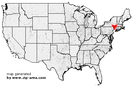
| State: | New Jersey |
| County: | Morris |
| Area code: | 973 |
| FIPS code: | 34027 |
| Time zone: | EST |
| ZIP code: | 07834 |
|
calculate distance to another city

|
|
 Using the left mouse click, select the desired location on the map and you will receive a list of cities in the surrounding area. (Embed this map on your website.) |
Add the following HTML-code to your website: <a href="http://www.zip-area.com/new_jersey/denville/" target="_blank"><img src="http://www.zip-area.com/new_jersey/images/map_denville.png" alt="Denville"></a> |
Cities close to Denville |
|
| Ironia (8.70 mi) | Kenvil (7.20 mi) |
| Lake Hopatcong (9.05 mi) | Glasser (9.89 mi) |
| Mine Hill (6.07 mi) | Mendham (9.63 mi) |
| Wharton (6.37 mi) | Picatinny Arsenal (4.98 mi) |
| Randolph (5.38 mi) | Mount Freedom (6.25 mi) |
| Brookside (7.88 mi) | Dover (4.23 mi) |
| Oak Ridge (9.97 mi) | Morristown (7.22 mi) |
| Hibernia (3.74 mi) | Denville (0.00 mi) |
| Rockaway (5.24 mi) | Morris Plains (2.92 mi) |
| Mount Tabor (1.68 mi) | Cedar Knolls (4.74 mi) |
| Mountain Lakes (2.34 mi) | Madison (9.56 mi) |
| Boonton (4.32 mi) | Whippany (5.86 mi) |
| Parsippany (5.08 mi) | Florham Park (9.13 mi) |
| Butler (8.55 mi) | Lake Hiawatha (5.40 mi) |
| Montville (6.35 mi) | East Hanover (8.01 mi) |
| Towaco (7.79 mi) | Pine Brook (7.62 mi) |