

Stirling
| Category: | City |
| State: | New Jersey |
| County: | Morris |
| Area code: | 908 |
| FIPS code: | 34027 |
| Time zone: | EST |
| ZIP code: | 07980 |
|
calculate distance to another city

|
|
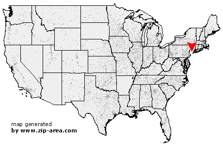 Using the left mouse click, select the desired location on the map and you will receive a list of cities in the surrounding area. (Embed this map on your website.) |
Add the following HTML-code to your website: <a href="http://www.zip-area.com/new_jersey/stirling/" target="_blank"><img src="http://www.zip-area.com/new_jersey/images/map_stirling.png" alt="Stirling"></a> |
Cities close to Stirling |
|
| Far Hills (7.46 mi) | Bridgewater (8.79 mi) |
| Mendham (9.20 mi) | Bernardsville (6.39 mi) |
| Manville (10.38 mi) | Liberty Corner (4.49 mi) |
| Zarephath (10.37 mi) | Brookside (9.29 mi) |
| Basking Ridge (3.77 mi) | Martinsville (6.12 mi) |
| Lyons (3.76 mi) | Bound Brook (7.89 mi) |
| South Bound Brook (8.46 mi) | Warren (3.12 mi) |
| Millington (1.06 mi) | Middlesex (6.86 mi) |
| Morristown (7.79 mi) | Stirling (0.00 mi) |
| New Vernon (4.04 mi) | Gillette (2.17 mi) |
| Dunellen (5.01 mi) | Piscataway (8.88 mi) |
| Green Village (5.18 mi) | Watchung (3.76 mi) |
| Plainfield (4.33 mi) | Berkeley Heights (3.32 mi) |
| Madison (7.08 mi) | Chatham (5.47 mi) |
| South Plainfield (7.93 mi) | New Providence (4.95 mi) |
| Florham Park (8.87 mi) | Fanwood (6.00 mi) |
| Scotch Plains (7.50 mi) | Summit (7.26 mi) |
| Metuchen (11.33 mi) | Mountainside (6.96 mi) |