

Berkeley Heights
| Category: | City |
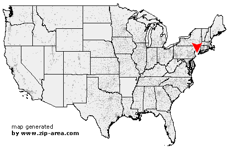
| State: | New Jersey |
| County: | Union |
| Area code: | 908 |
| FIPS code: | 34039 |
| Time zone: | EST |
| ZIP code: | 07922 |
|
calculate distance to another city

|
|
 Using the left mouse click, select the desired location on the map and you will receive a list of cities in the surrounding area. (Embed this map on your website.) |
Add the following HTML-code to your website: <a href="http://www.zip-area.com/new_jersey/berkeley_heights/" target="_blank"><img src="http://www.zip-area.com/new_jersey/images/map_berkeley_heights.png" alt="Berkeley Heights"></a> |
Cities close to Berkeley Heights |
|
| Brookside (11.01 mi) | Basking Ridge (7.08 mi) |
| Martinsville (8.52 mi) | Lyons (6.65 mi) |
| Bound Brook (9.68 mi) | South Bound Brook (9.87 mi) |
| Warren (5.40 mi) | Millington (4.36 mi) |
| Middlesex (7.94 mi) | Morristown (8.47 mi) |
| Stirling (3.32 mi) | New Vernon (4.96 mi) |
| Gillette (3.29 mi) | Dunellen (5.75 mi) |
| Piscataway (9.06 mi) | Green Village (4.93 mi) |
| Watchung (3.62 mi) | Plainfield (3.05 mi) |
| Berkeley Heights (0.00 mi) | Madison (5.89 mi) |
| Chatham (3.62 mi) | South Plainfield (6.99 mi) |
| New Providence (2.02 mi) | Florham Park (7.30 mi) |
| Fanwood (3.24 mi) | Scotch Plains (5.06 mi) |
| Summit (4.32 mi) | East Hanover (10.50 mi) |
| Metuchen (9.84 mi) | Mountainside (3.65 mi) |
| Westfield (4.75 mi) | Short Hills (6.92 mi) |
| Livingston (9.26 mi) | Springfield (5.71 mi) |
| Garwood (5.79 mi) | Iselin (9.30 mi) |
| Colonia (8.25 mi) | Clark (7.21 mi) |
| Fords (11.08 mi) | Cranford (6.69 mi) |
| Millburn (7.50 mi) | Kenilworth (7.36 mi) |
| Woodbridge (11.24 mi) | Vauxhall (8.11 mi) |