

New Providence
| Category: | City |
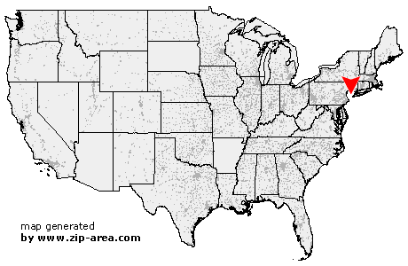
| State: | New Jersey |
| County: | Union |
| Area code: | 908 |
| FIPS code: | 34039 |
| Time zone: | EST |
| ZIP code: | 07974 |
|
calculate distance to another city

|
|
 Using the left mouse click, select the desired location on the map and you will receive a list of cities in the surrounding area. (Embed this map on your website.) |
Add the following HTML-code to your website: <a href="http://www.zip-area.com/new_jersey/new_providence/" target="_blank"><img src="http://www.zip-area.com/new_jersey/images/map_new_providence.png" alt="New Providence"></a> |
Cities close to New Providence |
|
| Bound Brook (11.70 mi) | South Bound Brook (11.86 mi) |
| Warren (7.37 mi) | Millington (5.91 mi) |
| Middlesex (9.91 mi) | Morristown (7.93 mi) |
| Stirling (4.95 mi) | New Vernon (5.03 mi) |
| Gillette (4.03 mi) | Dunellen (7.72 mi) |
| Green Village (4.28 mi) | Cedar Knolls (9.26 mi) |
| Watchung (5.56 mi) | Plainfield (4.77 mi) |
| Berkeley Heights (2.02 mi) | Madison (4.48 mi) |
| Whippany (8.63 mi) | Chatham (2.15 mi) |
| South Plainfield (8.47 mi) | New Providence (0.00 mi) |
| Florham Park (5.58 mi) | Fanwood (3.92 mi) |
| Scotch Plains (5.75 mi) | Summit (2.35 mi) |
| East Hanover (8.68 mi) | Mountainside (2.52 mi) |
| Westfield (4.50 mi) | Short Hills (4.91 mi) |
| Livingston (7.26 mi) | Springfield (4.12 mi) |
| Garwood (5.25 mi) | Iselin (9.80 mi) |
| Colonia (8.54 mi) | Clark (7.11 mi) |
| Roseland (9.89 mi) | Cranford (5.91 mi) |
| Millburn (5.68 mi) | Kenilworth (6.14 mi) |
| Woodbridge (11.63 mi) | Vauxhall (6.37 mi) |
| Rahway (8.91 mi) | Essex Fells (11.08 mi) |
| Maplewood (7.14 mi) | Avenel (10.48 mi) |
| Union (7.02 mi) | Roselle Park (7.49 mi) |
| West Orange (9.75 mi) | South Orange (8.30 mi) |
| Roselle (8.10 mi) | |