

Far Rockaway
| Category: | City |
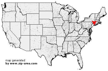
| State: | New York |
| County: | Queens |
| Area code: | 718 |
| FIPS code: | 36081 |
| Time zone: | EST |
| ZIP codes: | 11690, 11691, 11693, 11695 |
|
calculate distance to another city

|
|
 Using the left mouse click, select the desired location on the map and you will receive a list of cities in the surrounding area. (Embed this map on your website.) |
Add the following HTML-code to your website: <a href="http://www.zip-area.com/new_york/far_rockaway/" target="_blank"><img src="http://www.zip-area.com/new_york/images/map_far_rockaway.png" alt="Far Rockaway"></a> |
Cities close to Far Rockaway |
|
| Breezy Point (8.04 mi) | Maspeth (11.43 mi) |
| Ridgewood (9.60 mi) | Middle Village (10.08 mi) |
| Elmhurst (11.32 mi) | Rego Park (10.16 mi) |
| Woodhaven (8.21 mi) | Rockaway Park (4.54 mi) |
| Ozone Park (7.44 mi) | Forest Hills (9.62 mi) |
| Howard Beach (5.84 mi) | Richmond Hill (7.98 mi) |
| Kew Gardens (8.36 mi) | South Richmond Hill (6.99 mi) |
| South Ozone Park (5.89 mi) | Arverne (1.44 mi) |
| Fresh Meadows (9.95 mi) | Jamaica (7.14 mi) |
| Hollis (8.35 mi) | Far Rockaway (0.00 mi) |
| Inwood (1.70 mi) | Saint Albans (7.03 mi) |
| Springfield Gardens (5.32 mi) | Queens Village (9.32 mi) |
| Rosedale (4.63 mi) | Cambria Heights (6.99 mi) |
| Atlantic Beach (2.10 mi) | Cedarhurst (3.08 mi) |
| Bellerose (9.98 mi) | Lawrence (3.04 mi) |
| Woodmere (3.88 mi) | Elmont (7.93 mi) |
| Valley Stream (6.37 mi) | Floral Park (9.41 mi) |
| Hewlett (4.93 mi) | Franklin Square (8.69 mi) |
| Lynbrook (6.50 mi) | Malverne (7.42 mi) |
| East Rockaway (6.10 mi) | Island Park (6.21 mi) |
| West Hempstead (9.04 mi) | Long Beach (6.61 mi) |
| Rockville Centre (8.33 mi) | Oceanside (7.35 mi) |
| Garden City (11.49 mi) | |