

Malverne
| Category: | City |
| State: | New York |
| County: | Nassau |
| Area code: | 516 |
| FIPS code: | 36059 |
| Time zone: | EST |
| ZIP code: | 11565 |
|
calculate distance to another city

|
|
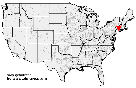 Using the left mouse click, select the desired location on the map and you will receive a list of cities in the surrounding area. (Embed this map on your website.) |
Add the following HTML-code to your website: <a href="http://www.zip-area.com/new_york/malverne/" target="_blank"><img src="http://www.zip-area.com/new_york/images/map_malverne.png" alt="Malverne"></a> |
Cities close to Malverne |
|
| Whitestone (10.59 mi) | Arverne (8.58 mi) |
| Fresh Meadows (7.74 mi) | Jamaica (6.26 mi) |
| Bayside (9.74 mi) | Hollis (5.84 mi) |
| Far Rockaway (7.42 mi) | Inwood (6.04 mi) |
| Saint Albans (4.82 mi) | Oakland Gardens (6.63 mi) |
| Springfield Gardens (4.14 mi) | Queens Village (5.52 mi) |
| Rosedale (3.64 mi) | Cambria Heights (3.61 mi) |
| Little Neck (6.69 mi) | Atlantic Beach (6.73 mi) |
| Cedarhurst (4.33 mi) | Bellerose (5.02 mi) |
| Floral Park (6.27 mi) | Lawrence (5.16 mi) |
| Glen Oaks (5.50 mi) | Woodmere (3.61 mi) |
| Great Neck (6.89 mi) | Elmont (2.60 mi) |
| Valley Stream (1.68 mi) | Floral Park (3.73 mi) |
| Hewlett (2.81 mi) | Manhasset (8.24 mi) |
| New Hyde Park (4.92 mi) | Franklin Square (1.76 mi) |
| Lynbrook (1.22 mi) | Malverne (0.00 mi) |
| East Rockaway (2.51 mi) | Albertson (6.72 mi) |
| Island Park (4.87 mi) | West Hempstead (1.62 mi) |
| Long Beach (6.12 mi) | Williston Park (6.06 mi) |
| Roslyn (9.09 mi) | Roslyn Heights (7.67 mi) |
| Mineola (5.27 mi) | Rockville Centre (1.87 mi) |
| Oceanside (3.42 mi) | Garden City (4.14 mi) |
| Greenvale (10.08 mi) | Carle Place (6.08 mi) |
| Baldwin (3.61 mi) | Hempstead (4.63 mi) |
| Old Westbury (8.61 mi) | Uniondale (4.63 mi) |
| Roosevelt (4.57 mi) | Freeport (4.90 mi) |
| Point Lookout (7.57 mi) | Westbury (7.60 mi) |
| East Meadow (6.60 mi) | Merrick (6.09 mi) |
| Jericho (10.52 mi) | Bellmore (7.23 mi) |