

Coal Center
| Category: | City |
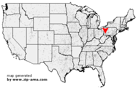
| State: | Pennsylvania |
| County: | Washington |
| Area code: | 724 |
| FIPS code: | 42125 |
| Time zone: | EST |
| ZIP code: | 15423 |
|
calculate distance to another city

|
|
 Using the left mouse click, select the desired location on the map and you will receive a list of cities in the surrounding area. (Embed this map on your website.) |
Add the following HTML-code to your website: <a href="http://www.zip-area.com/pennsylvania/coal_center/" target="_blank"><img src="http://www.zip-area.com/pennsylvania/images/map_coal_center.png" alt="Coal Center"></a> |
Cities close to Coal Center |
|
| Clarksville (10.45 mi) | Ellsworth (7.49 mi) |
| Bentleyville (6.70 mi) | Millsboro (9.78 mi) |
| Richeyville (6.72 mi) | East Millsboro (9.73 mi) |
| Vestaburg (8.13 mi) | Daisytown (5.38 mi) |
| Van Voorhis (6.39 mi) | Brownsville (5.99 mi) |
| New Eagle (8.37 mi) | Bunola (10.30 mi) |
| La Belle (9.85 mi) | Charleroi (4.56 mi) |
| Monongahela (6.64 mi) | Denbo (6.53 mi) |
| California (2.60 mi) | Republic (9.82 mi) |
| Hiller (6.20 mi) | Newell (1.84 mi) |
| Monessen (3.65 mi) | Elco (1.15 mi) |
| Coal Center (0.00 mi) | Allison (7.22 mi) |
| Cardale (9.81 mi) | Merrittstown (9.32 mi) |
| Roscoe (1.60 mi) | Donora (5.59 mi) |
| Allenport (1.23 mi) | Pricedale (3.17 mi) |
| Stockdale (1.83 mi) | Dunlevy (1.70 mi) |
| Webster (6.22 mi) | Grindstone (6.20 mi) |
| Fayette City (2.71 mi) | Brier Hill (8.58 mi) |
| Belle Vernon (5.25 mi) | Chestnut Ridge (9.03 mi) |
| Sutersville (10.90 mi) | Keisterville (10.77 mi) |
| Waltersburg (9.39 mi) | Wickhaven (5.91 mi) |
| Smock (9.63 mi) | Star Junction (6.75 mi) |
| Perryopolis (6.81 mi) | Jacobs Creek (7.71 mi) |