

Chestnut Ridge
| Category: | City |
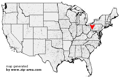
| State: | Pennsylvania |
| County: | Fayette |
| Area code: | 724 |
| FIPS code: | 42051 |
| Time zone: | EST |
| ZIP code: | 15422 |
|
calculate distance to another city

|
|
 Using the left mouse click, select the desired location on the map and you will receive a list of cities in the surrounding area. (Embed this map on your website.) |
Add the following HTML-code to your website: <a href="http://www.zip-area.com/pennsylvania/chestnut_ridge/" target="_blank"><img src="http://www.zip-area.com/pennsylvania/images/map_chestnut_ridge.png" alt="Chestnut Ridge"></a> |
Cities close to Chestnut Ridge |
|
| La Belle (7.56 mi) | Isabella (7.34 mi) |
| Denbo (6.99 mi) | Nemacolin (9.44 mi) |
| Ronco (9.76 mi) | California (8.63 mi) |
| Republic (5.70 mi) | Hiller (5.63 mi) |
| Newell (8.20 mi) | Adah (7.82 mi) |
| Hibbs (5.25 mi) | Elco (8.05 mi) |
| Coal Center (9.03 mi) | Allison (3.53 mi) |
| Leckrone (8.88 mi) | Cardale (3.58 mi) |
| Merrittstown (3.36 mi) | Roscoe (7.44 mi) |
| Mc Clellandtown (7.07 mi) | Allenport (8.29 mi) |
| Stockdale (7.50 mi) | Dunlevy (9.27 mi) |
| Fairbank (3.43 mi) | Grindstone (2.83 mi) |
| Fayette City (7.82 mi) | Brier Hill (1.18 mi) |
| Chestnut Ridge (0.00 mi) | New Salem (2.27 mi) |
| Uledi (5.88 mi) | Keisterville (1.81 mi) |
| Waltersburg (1.62 mi) | Wickhaven (10.03 mi) |
| Smock (2.78 mi) | Star Junction (7.26 mi) |
| Perryopolis (7.88 mi) | Uniontown (8.67 mi) |
| Oliver (6.40 mi) | Brownfield (9.04 mi) |
| Vanderbilt (5.64 mi) | West Leisenring (5.94 mi) |
| Hopwood (10.44 mi) | Dawson (9.74 mi) |
| Dickerson Run (8.65 mi) | |