

Woxall
| Category: | City |
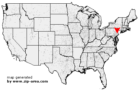
| State: | Pennsylvania |
| County: | Montgomery |
| Area code: | 215 |
| FIPS code: | 42091 |
| Time zone: | EST |
| ZIP code: | 18979 |
|
calculate distance to another city

|
|
 Using the left mouse click, select the desired location on the map and you will receive a list of cities in the surrounding area. (Embed this map on your website.) |
Add the following HTML-code to your website: <a href="http://www.zip-area.com/pennsylvania/woxall/" target="_blank"><img src="http://www.zip-area.com/pennsylvania/images/map_woxall.png" alt="Woxall"></a> |
Cities close to Woxall |
|
| Parker Ford (10.28 mi) | Bally (9.42 mi) |
| Gilbertsville (7.06 mi) | Hereford (11.68 mi) |
| Barto (8.76 mi) | Sassamansville (6.85 mi) |
| Frederick (5.76 mi) | Palm (9.45 mi) |
| Royersford (8.61 mi) | Perkiomenville (3.45 mi) |
| East Greenville (8.16 mi) | Schwenksville (4.55 mi) |
| Red Hill (4.66 mi) | Zieglerville (2.97 mi) |
| Pennsburg (5.61 mi) | Spring Mount (2.45 mi) |
| Salford (1.08 mi) | Sumneytown (1.23 mi) |
| Woxall (0.00 mi) | Collegeville (8.35 mi) |
| Spinnerstown (8.86 mi) | Green Lane (3.21 mi) |
| Salfordville (1.36 mi) | Creamery (6.49 mi) |
| Lederach (4.06 mi) | Skippack (6.65 mi) |
| Milford Square (9.10 mi) | Harleysville (4.07 mi) |
| Trumbauersville (7.83 mi) | Tylersport (4.81 mi) |
| Earlington (4.05 mi) | Telford (4.11 mi) |
| Cedars (8.02 mi) | Mainland (5.97 mi) |
| Worcester (9.31 mi) | Sellersville (7.07 mi) |
| Franconia (5.73 mi) | Kulpsville (7.58 mi) |
| Souderton (6.12 mi) | |