

Cedars
| Category: | City |
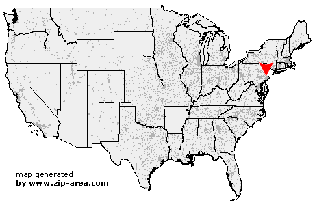
| State: | Pennsylvania |
| County: | Montgomery |
| Area code: | 610 |
| FIPS code: | 42091 |
| Time zone: | EST |
| ZIP code: | 19423 |
|
calculate distance to another city

|
|
 Using the left mouse click, select the desired location on the map and you will receive a list of cities in the surrounding area. (Embed this map on your website.) |
Add the following HTML-code to your website: <a href="http://www.zip-area.com/pennsylvania/cedars/" target="_blank"><img src="http://www.zip-area.com/pennsylvania/images/map_cedars.png" alt="Cedars"></a> |
Cities close to Cedars |
|
| Schwenksville (7.67 mi) | Mont Clare (8.73 mi) |
| Zieglerville (7.43 mi) | King of Prussia (9.56 mi) |
| Norristown (9.31 mi) | Valley Forge (10.01 mi) |
| Oaks (7.39 mi) | Spring Mount (6.38 mi) |
| Arcola (6.21 mi) | Salford (7.32 mi) |
| Sumneytown (9.13 mi) | Woxall (8.02 mi) |
| Audubon (7.80 mi) | Collegeville (3.98 mi) |
| Green Lane (10.59 mi) | Salfordville (6.72 mi) |
| Creamery (2.57 mi) | Valley Forge (9.48 mi) |
| Eagleville (4.59 mi) | Lederach (3.96 mi) |
| Skippack (1.76 mi) | Harleysville (4.12 mi) |
| Fairview Village (3.91 mi) | King of Prussia (8.19 mi) |
| Tylersport (9.87 mi) | Earlington (7.99 mi) |
| Telford (7.85 mi) | Cedars (0.00 mi) |
| Mainland (3.17 mi) | Worcester (1.39 mi) |
| Franconia (7.19 mi) | Bridgeport (7.70 mi) |
| Kulpsville (2.69 mi) | Souderton (6.11 mi) |
| Norristown (6.43 mi) | West Point (3.66 mi) |
| Lansdale (3.86 mi) | Hatfield (5.84 mi) |
| Conshohocken (9.78 mi) | Blue Bell (6.05 mi) |
| Silverdale (10.58 mi) | Plymouth Meeting (8.71 mi) |
| Line Lexington (8.04 mi) | Lafayette Hill (10.30 mi) |
| Colmar (7.20 mi) | Gwynedd Valley (6.23 mi) |
| North Wales (6.76 mi) | Gwynedd (6.84 mi) |
| Montgomeryville (7.61 mi) | Spring House (7.63 mi) |