

Fords
| Category: | City |
| State: | New Jersey |
| County: | Middlesex |
| Area code: | 732 |
| FIPS code: | 34023 |
| Time zone: | EST |
| ZIP code: | 08863 |
|
calculate distance to another city

|
|
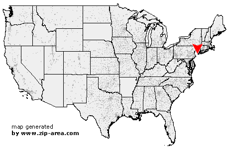 Using the left mouse click, select the desired location on the map and you will receive a list of cities in the surrounding area. (Embed this map on your website.) |
Add the following HTML-code to your website: <a href="http://www.zip-area.com/new_jersey/fords/" target="_blank"><img src="http://www.zip-area.com/new_jersey/images/map_fords.png" alt="Fords"></a> |
Cities close to Fords |
|
| Watchung (9.54 mi) | New Brunswick (8.13 mi) |
| Milltown (9.39 mi) | Plainfield (8.80 mi) |
| Berkeley Heights (11.08 mi) | Highland Park (6.80 mi) |
| East Brunswick (9.57 mi) | South Plainfield (5.89 mi) |
| Edison (4.74 mi) | South River (7.69 mi) |
| Fanwood (7.91 mi) | Scotch Plains (6.05 mi) |
| Metuchen (2.70 mi) | Sayreville (6.29 mi) |
| Mountainside (9.93 mi) | Westfield (7.57 mi) |
| Garwood (7.56 mi) | Iselin (2.02 mi) |
| Colonia (3.51 mi) | Keasbey (1.94 mi) |
| Clark (5.44 mi) | Fords (0.00 mi) |
| Parlin (5.84 mi) | Cranford (7.92 mi) |
| Kenilworth (9.46 mi) | Woodbridge (1.55 mi) |
| Rahway (4.81 mi) | Perth Amboy (2.35 mi) |
| Avenel (3.54 mi) | Roselle Park (8.83 mi) |
| Roselle (8.10 mi) | Sewaren (3.01 mi) |
| Matawan (9.56 mi) | Port Reading (3.76 mi) |
| Linden (6.90 mi) | Cliffwood (8.34 mi) |
| Carteret (5.20 mi) | Keyport (9.74 mi) |
| Elizabeth (11.28 mi) | Hazlet (10.86 mi) |