

Kenvil
| Category: | City |
| State: | New Jersey |
| County: | Morris |
| Area code: | 973 |
| FIPS code: | 34027 |
| Time zone: | EST |
| ZIP code: | 07847 |
|
calculate distance to another city

|
|
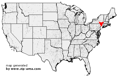 Using the left mouse click, select the desired location on the map and you will receive a list of cities in the surrounding area. (Embed this map on your website.) |
Add the following HTML-code to your website: <a href="http://www.zip-area.com/new_jersey/kenvil/" target="_blank"><img src="http://www.zip-area.com/new_jersey/images/map_kenvil.png" alt="Kenvil"></a> |
Cities close to Kenvil |
|
| Budd Lake (6.65 mi) | Flanders (5.36 mi) |
| Stanhope (5.00 mi) | Netcong (4.07 mi) |
| Chester (8.21 mi) | Hopatcong (4.53 mi) |
| Ledgewood (2.42 mi) | Landing (2.22 mi) |
| Succasunna (2.82 mi) | Mount Arlington (2.95 mi) |
| Ironia (4.49 mi) | Kenvil (0.00 mi) |
| Lake Hopatcong (5.70 mi) | Glasser (7.10 mi) |
| Mine Hill (1.34 mi) | Mendham (7.58 mi) |
| Wharton (4.18 mi) | Picatinny Arsenal (2.23 mi) |
| Randolph (3.79 mi) | Mount Freedom (5.04 mi) |
| Brookside (7.03 mi) | Dover (4.92 mi) |
| Oak Ridge (11.45 mi) | Morristown (9.56 mi) |
| Hibernia (7.83 mi) | Denville (7.20 mi) |
| Rockaway (9.01 mi) | Morris Plains (7.85 mi) |
| Mount Tabor (7.61 mi) | |