

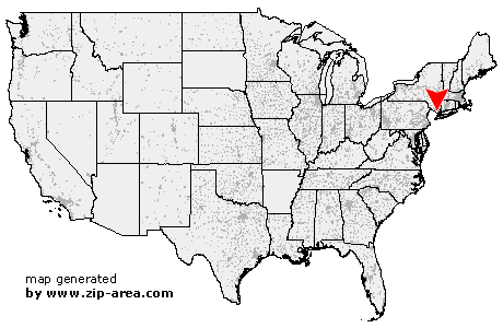
Nyack
| Category: | City |
| State: | New York |
| County: | Rockland |
| Area code: | 845 |
| FIPS code: | 36087 |
| Time zone: | EST |
| ZIP code: | 10960 |
|
calculate distance to another city

|
|
 Using the left mouse click, select the desired location on the map and you will receive a list of cities in the surrounding area. (Embed this map on your website.) |
Add the following HTML-code to your website: <a href="http://www.zip-area.com/new_york/nyack/" target="_blank"><img src="http://www.zip-area.com/new_york/images/map_nyack.png" alt="Nyack"></a> |
Cities close to Nyack |
|
| Pomona (10.34 mi) | Woodcliff Lake (8.55 mi) |
| Montvale (7.06 mi) | Spring Valley (6.62 mi) |
| Hillsdale (8.58 mi) | Park Ridge (7.31 mi) |
| Oradell (11.12 mi) | Westwood (8.35 mi) |
| Emerson (9.83 mi) | Township of Washington (7.72 mi) |
| Thiells (9.12 mi) | Pearl River (5.11 mi) |
| Nanuet (4.39 mi) | Garnerville (8.50 mi) |
| Haworth (9.82 mi) | New City (5.57 mi) |
| Harrington Park (7.54 mi) | West Haverstraw (8.37 mi) |
| West Nyack (2.44 mi) | Haverstraw (7.15 mi) |
| Closter (8.51 mi) | Demarest (9.73 mi) |
| Blauvelt (2.31 mi) | Orangeburg (3.60 mi) |
| Norwood (7.07 mi) | Tappan (4.65 mi) |
| Northvale (6.08 mi) | Congers (4.31 mi) |
| Valley Cottage (2.16 mi) | Nyack (0.00 mi) |
| Alpine (8.93 mi) | Sparkill (5.06 mi) |
| Piermont (3.85 mi) | Palisades (5.34 mi) |
| Croton on Hudson (9.07 mi) | Ardsley on Hudson (5.30 mi) |
| Hastings on Hudson (7.74 mi) | Maryknoll (5.51 mi) |
| Dobbs Ferry (6.45 mi) | Irvington (5.28 mi) |
| Tarrytown (4.18 mi) | Ardsley (7.36 mi) |
| Briarcliff Manor (5.79 mi) | Ossining (8.55 mi) |
| Tuckahoe (11.03 mi) | Elmsford (6.12 mi) |
| Hartsdale (7.96 mi) | Eastchester (11.46 mi) |
| Hawthorne (6.39 mi) | Scarsdale (10.00 mi) |
| Pleasantville (7.29 mi) | Millwood (10.17 mi) |
| Valhalla (7.55 mi) | |