

Dobbs Ferry
| Category: | City |
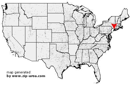
| State: | New York |
| County: | Westchester |
| Area code: | 914 |
| FIPS code: | 36119 |
| Time zone: | EST |
| ZIP code: | 10522 |
|
calculate distance to another city

|
|
 Using the left mouse click, select the desired location on the map and you will receive a list of cities in the surrounding area. (Embed this map on your website.) |
Add the following HTML-code to your website: <a href="http://www.zip-area.com/new_york/dobbs_ferry/" target="_blank"><img src="http://www.zip-area.com/new_york/images/map_dobbs_ferry.png" alt="Dobbs Ferry"></a> |
Cities close to Dobbs Ferry |
|
| Nanuet (9.59 mi) | Bergenfield (9.26 mi) |
| Haworth (7.60 mi) | New City (11.98 mi) |
| Dumont (8.09 mi) | Harrington Park (6.05 mi) |
| Englewood (10.06 mi) | West Nyack (8.04 mi) |
| Closter (5.59 mi) | Cresskill (6.98 mi) |
| Demarest (6.21 mi) | Tenafly (8.01 mi) |
| Blauvelt (6.07 mi) | Orangeburg (5.17 mi) |
| Norwood (4.67 mi) | Englewood Cliffs (9.94 mi) |
| Tappan (4.44 mi) | Northvale (4.08 mi) |
| Congers (10.62 mi) | Valley Cottage (8.57 mi) |
| Nyack (6.45 mi) | Alpine (4.50 mi) |
| Sparkill (3.08 mi) | Piermont (3.31 mi) |
| Palisades (2.57 mi) | Yonkers (4.84 mi) |
| Ardsley on Hudson (1.15 mi) | Hastings on Hudson (1.61 mi) |
| Dobbs Ferry (0.00 mi) | Irvington (2.03 mi) |
| Tarrytown (5.13 mi) | Ardsley (1.15 mi) |
| Mount Vernon (7.49 mi) | Briarcliff Manor (9.07 mi) |
| Bronxville (5.37 mi) | Tuckahoe (4.58 mi) |
| Elmsford (4.13 mi) | Hartsdale (3.03 mi) |
| Eastchester (5.03 mi) | Pelham (8.33 mi) |
| Hawthorne (6.53 mi) | Scarsdale (4.09 mi) |
| Pleasantville (8.83 mi) | New Rochelle (7.72 mi) |
| Valhalla (6.74 mi) | Thornwood (8.70 mi) |
| White Plains (5.40 mi) | Larchmont (7.69 mi) |
| West Harrison (7.02 mi) | Mamaroneck (7.77 mi) |
| Harrison (7.74 mi) | |