

Waltersburg
| Category: | City |
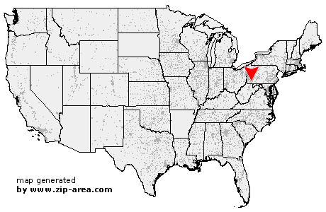
| State: | Pennsylvania |
| County: | Fayette |
| Area code: | 724 |
| FIPS code: | 42051 |
| Time zone: | EST |
| ZIP code: | 15488 |
|
calculate distance to another city

|
|
 Using the left mouse click, select the desired location on the map and you will receive a list of cities in the surrounding area. (Embed this map on your website.) |
Add the following HTML-code to your website: <a href="http://www.zip-area.com/pennsylvania/waltersburg/" target="_blank"><img src="http://www.zip-area.com/pennsylvania/images/map_waltersburg.png" alt="Waltersburg"></a> |
Cities close to Waltersburg |
|
| Ronco (11.14 mi) | California (9.41 mi) |
| Republic (7.32 mi) | Hiller (6.95 mi) |
| Newell (8.85 mi) | Adah (9.17 mi) |
| Hibbs (6.78 mi) | Elco (8.54 mi) |
| Coal Center (9.39 mi) | Allison (4.96 mi) |
| Leckrone (10.00 mi) | Cardale (5.18 mi) |
| Merrittstown (4.97 mi) | Roscoe (7.80 mi) |
| Mc Clellandtown (8.26 mi) | Allenport (8.48 mi) |
| Stockdale (7.69 mi) | Dunlevy (9.33 mi) |
| Fairbank (4.89 mi) | Grindstone (3.49 mi) |
| Fayette City (7.74 mi) | Brier Hill (2.76 mi) |
| Chestnut Ridge (1.62 mi) | New Salem (2.87 mi) |
| Uledi (6.35 mi) | Keisterville (1.83 mi) |
| Waltersburg (0.00 mi) | Wickhaven (9.38 mi) |
| Smock (1.17 mi) | Star Junction (6.35 mi) |
| Perryopolis (6.97 mi) | Uniontown (8.59 mi) |
| Oliver (5.81 mi) | Brownfield (8.78 mi) |
| Vanderbilt (4.08 mi) | West Leisenring (4.64 mi) |
| Hopwood (9.97 mi) | Dawson (8.28 mi) |
| Dickerson Run (7.09 mi) | Dunbar (6.80 mi) |
| Lemont Furnace (7.89 mi) | Mount Braddock (7.48 mi) |
| Leisenring (7.13 mi) | |