

Brookside
| Category: | City |
| State: | New Jersey |
| County: | Morris |
| Area code: | 973 |
| FIPS code: | 34027 |
| Time zone: | EST |
| ZIP code: | 07926 |
|
calculate distance to another city

|
|
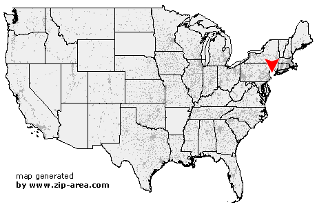 Using the left mouse click, select the desired location on the map and you will receive a list of cities in the surrounding area. (Embed this map on your website.) |
Add the following HTML-code to your website: <a href="http://www.zip-area.com/new_jersey/brookside/" target="_blank"><img src="http://www.zip-area.com/new_jersey/images/map_brookside.png" alt="Brookside"></a> |
Cities close to Brookside |
|
| Flanders (8.18 mi) | Stanhope (11.56 mi) |
| Netcong (9.88 mi) | Chester (6.22 mi) |
| Bedminster (10.97 mi) | Ledgewood (7.56 mi) |
| Gladstone (7.41 mi) | Landing (8.92 mi) |
| Peapack (7.09 mi) | Succasunna (6.11 mi) |
| Mount Arlington (9.92 mi) | Far Hills (6.98 mi) |
| Ironia (3.59 mi) | Kenvil (7.03 mi) |
| Mine Hill (6.02 mi) | Mendham (1.87 mi) |
| Bernardsville (4.79 mi) | Picatinny Arsenal (6.39 mi) |
| Liberty Corner (9.00 mi) | Randolph (3.71 mi) |
| Mount Freedom (2.20 mi) | Brookside (0.00 mi) |
| Basking Ridge (8.17 mi) | Lyons (6.19 mi) |
| Dover (9.38 mi) | Millington (8.77 mi) |
| Morristown (3.68 mi) | Stirling (9.29 mi) |
| New Vernon (6.06 mi) | Denville (7.88 mi) |
| Morris Plains (5.79 mi) | Mount Tabor (6.74 mi) |
| Gillette (7.84 mi) | Green Village (6.80 mi) |
| Cedar Knolls (6.28 mi) | Mountain Lakes (9.41 mi) |
| Berkeley Heights (11.01 mi) | |