

Union
| Category: | City |
| State: | New Jersey |
| County: | Union |
| Area code: | 908 |
| FIPS code: | 34039 |
| Time zone: | EST |
| ZIP code: | 07083 |
|
calculate distance to another city

|
|
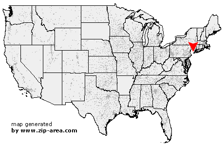 Using the left mouse click, select the desired location on the map and you will receive a list of cities in the surrounding area. (Embed this map on your website.) |
Add the following HTML-code to your website: <a href="http://www.zip-area.com/new_jersey/union/" target="_blank"><img src="http://www.zip-area.com/new_jersey/images/map_union.png" alt="Union"></a> |
Cities close to Union |
|
| New Providence (7.02 mi) | Florham Park (8.69 mi) |
| Fanwood (7.09 mi) | Scotch Plains (7.45 mi) |
| Summit (5.19 mi) | East Hanover (9.95 mi) |
| Mountainside (4.83 mi) | Westfield (5.08 mi) |
| Short Hills (4.68 mi) | Livingston (7.06 mi) |
| Springfield (2.92 mi) | Garwood (4.10 mi) |
| Iselin (8.86 mi) | Colonia (7.40 mi) |
| Clark (5.52 mi) | Roseland (8.98 mi) |
| Cranford (3.16 mi) | Millburn (2.57 mi) |
| Kenilworth (1.51 mi) | Woodbridge (9.73 mi) |
| Vauxhall (1.82 mi) | Rahway (6.00 mi) |
| Essex Fells (9.19 mi) | Maplewood (2.77 mi) |
| Avenel (7.66 mi) | Union (0.00 mi) |
| Roselle Park (2.00 mi) | West Orange (6.60 mi) |
| South Orange (3.82 mi) | Roselle (2.90 mi) |
| Sewaren (9.70 mi) | Port Reading (8.77 mi) |
| Verona (9.69 mi) | Linden (4.97 mi) |
| Orange (5.43 mi) | Irvington (2.86 mi) |
| Carteret (7.82 mi) | Hillside (2.10 mi) |
| Montclair (8.70 mi) | East Orange (6.26 mi) |
| Glen Ridge (8.32 mi) | Bloomfield (9.09 mi) |
| Elizabeth (5.00 mi) | Newark (5.45 mi) |
| Belleville (8.94 mi) | Nutley (10.44 mi) |
| Harrison (7.07 mi) | North Arlington (9.86 mi) |