

Norristown
| Category: | City |
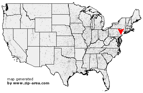
| State: | Pennsylvania |
| County: | Montgomery |
| Area code: | 610 |
| FIPS code: | 42091 |
| Time zone: | EST |
| ZIP codes: | 19401, 19403, 19404 |
|
calculate distance to another city

|
|
 Using the left mouse click, select the desired location on the map and you will receive a list of cities in the surrounding area. (Embed this map on your website.) |
Add the following HTML-code to your website: <a href="http://www.zip-area.com/pennsylvania/norristown/" target="_blank"><img src="http://www.zip-area.com/pennsylvania/images/map_norristown.png" alt="Norristown"></a> |
Cities close to Norristown |
|
| Oaks (7.39 mi) | Arcola (7.42 mi) |
| Berwyn (9.46 mi) | Audubon (6.67 mi) |
| Collegeville (7.62 mi) | Devon (8.10 mi) |
| Creamery (8.20 mi) | Valley Forge (6.00 mi) |
| Eagleville (5.27 mi) | Lederach (10.37 mi) |
| Skippack (7.80 mi) | Harleysville (10.55 mi) |
| Wayne (6.80 mi) | Fairview Village (4.14 mi) |
| King of Prussia (3.90 mi) | Cedars (6.43 mi) |
| Mainland (9.27 mi) | Villanova (6.41 mi) |
| Worcester (5.30 mi) | Bridgeport (1.95 mi) |
| Kulpsville (8.04 mi) | Bryn Mawr (7.24 mi) |
| Norristown (0.00 mi) | Haverford (8.25 mi) |
| West Point (5.58 mi) | Lansdale (7.23 mi) |
| Ardmore (8.71 mi) | Conshohocken (3.35 mi) |
| Gladwyne (5.75 mi) | Blue Bell (3.00 mi) |
| Wynnewood (9.27 mi) | Plymouth Meeting (2.83 mi) |
| Lafayette Hill (4.14 mi) | Narberth (7.87 mi) |
| Colmar (10.56 mi) | Gwynedd Valley (5.20 mi) |
| Merion Station (9.40 mi) | North Wales (7.80 mi) |
| Gwynedd (6.79 mi) | Bala Cynwyd (9.17 mi) |
| Montgomeryville (9.11 mi) | Spring House (6.32 mi) |
| Flourtown (5.62 mi) | Ambler (6.81 mi) |
| Fort Washington (5.79 mi) | Oreland (7.18 mi) |