

Flourtown
| Category: | City |
| State: | Pennsylvania |
| County: | Montgomery |
| Area code: | 215 |
| FIPS code: | 42091 |
| Time zone: | EST |
| ZIP code: | 19031 |
|
calculate distance to another city

|
|
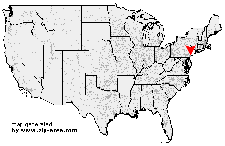 Using the left mouse click, select the desired location on the map and you will receive a list of cities in the surrounding area. (Embed this map on your website.) |
Add the following HTML-code to your website: <a href="http://www.zip-area.com/pennsylvania/flourtown/" target="_blank"><img src="http://www.zip-area.com/pennsylvania/images/map_flourtown.png" alt="Flourtown"></a> |
Cities close to Flourtown |
|
| Broomall (12.02 mi) | Villanova (8.62 mi) |
| Worcester (9.40 mi) | Bridgeport (6.51 mi) |
| Kulpsville (11.24 mi) | Bryn Mawr (8.42 mi) |
| Norristown (5.62 mi) | Haverford (8.62 mi) |
| Havertown (10.36 mi) | West Point (8.07 mi) |
| Lansdale (9.50 mi) | Ardmore (8.53 mi) |
| Conshohocken (4.37 mi) | Gladwyne (5.35 mi) |
| Blue Bell (4.75 mi) | Wynnewood (8.23 mi) |
| Plymouth Meeting (2.87 mi) | Lafayette Hill (2.65 mi) |
| Narberth (6.24 mi) | Gwynedd Valley (5.66 mi) |
| Merion Station (7.52 mi) | North Wales (8.00 mi) |
| Gwynedd (6.69 mi) | Bala Cynwyd (6.57 mi) |
| Montgomeryville (9.04 mi) | Spring House (5.39 mi) |
| Flourtown (0.00 mi) | Ambler (5.12 mi) |
| Fort Washington (1.76 mi) | Oreland (1.72 mi) |
| Glenside (2.41 mi) | Dresher (3.82 mi) |
| Horsham (6.45 mi) | Wyncote (3.82 mi) |
| Warrington (10.40 mi) | Abington (4.82 mi) |
| Elkins Park (5.43 mi) | Willow Grove (5.71 mi) |
| Jenkintown (5.80 mi) | Cheltenham (6.75 mi) |
| Hatboro (7.53 mi) | Warminster (10.73 mi) |