

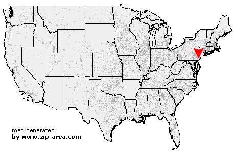
Haverford
| Category: | City |
| State: | Pennsylvania |
| County: | Montgomery |
| Area code: | 610 |
| FIPS code: | 42091 |
| Time zone: | EST |
| ZIP code: | 19041 |
|
calculate distance to another city

|
|
 Using the left mouse click, select the desired location on the map and you will receive a list of cities in the surrounding area. (Embed this map on your website.) |
Add the following HTML-code to your website: <a href="http://www.zip-area.com/pennsylvania/haverford/" target="_blank"><img src="http://www.zip-area.com/pennsylvania/images/map_haverford.png" alt="Haverford"></a> |
Cities close to Haverford |
|
| Arcola (12.55 mi) | Edgemont (7.61 mi) |
| Berwyn (7.36 mi) | Lenni (10.63 mi) |
| Audubon (10.24 mi) | Newtown Square (6.82 mi) |
| Aston (11.81 mi) | Devon (6.20 mi) |
| Media (8.18 mi) | Valley Forge (7.35 mi) |
| Brookhaven (10.44 mi) | Glen Riddle Lima (7.46 mi) |
| Wayne (4.65 mi) | King of Prussia (6.94 mi) |
| Wallingford (8.67 mi) | Broomall (3.44 mi) |
| Villanova (2.85 mi) | Woodlyn (9.32 mi) |
| Swarthmore (7.78 mi) | Springfield (5.35 mi) |
| Crum Lynne (9.98 mi) | Bridgeport (6.74 mi) |
| Bryn Mawr (1.35 mi) | Folsom (8.10 mi) |
| Morton (7.03 mi) | Ridley Park (9.21 mi) |
| Norristown (8.25 mi) | Haverford (0.00 mi) |
| Havertown (2.12 mi) | Holmes (7.43 mi) |
| Prospect Park (8.45 mi) | Drexel Hill (4.02 mi) |
| Ardmore (0.85 mi) | Clifton Heights (5.93 mi) |
| Norwood (8.43 mi) | Glenolden (7.32 mi) |
| Conshohocken (5.33 mi) | Philadelphia (9.85 mi) |
| Gladwyne (3.30 mi) | Folcroft (8.29 mi) |
| Wynnewood (2.20 mi) | Plymouth Meeting (7.48 mi) |
| Essington (9.93 mi) | Upper Darby (4.01 mi) |
| Darby (6.74 mi) | Sharon Hill (7.98 mi) |
| Lansdowne (5.55 mi) | Lafayette Hill (6.26 mi) |
| Narberth (3.14 mi) | Merion Station (3.42 mi) |
| Bala Cynwyd (4.44 mi) | Flourtown (8.62 mi) |
| Fort Washington (10.23 mi) | Oreland (10.01 mi) |
| National Park (12.07 mi) | Glenside (9.87 mi) |