

Carteret
| Category: | City |
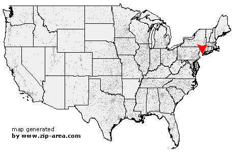
| State: | New Jersey |
| County: | Middlesex |
| Area code: | 732 |
| FIPS code: | 34023 |
| Time zone: | EST |
| ZIP code: | 07008 |
|
calculate distance to another city

|
|
 Using the left mouse click, select the desired location on the map and you will receive a list of cities in the surrounding area. (Embed this map on your website.) |
Add the following HTML-code to your website: <a href="http://www.zip-area.com/new_jersey/carteret/" target="_blank"><img src="http://www.zip-area.com/new_jersey/images/map_carteret.png" alt="Carteret"></a> |
Cities close to Carteret |
|
| Scotch Plains (7.67 mi) | Summit (11.40 mi) |
| Metuchen (7.58 mi) | Sayreville (11.10 mi) |
| Mountainside (9.52 mi) | Westfield (7.50 mi) |
| Springfield (9.31 mi) | Garwood (6.71 mi) |
| Iselin (4.68 mi) | Colonia (4.52 mi) |
| Keasbey (6.61 mi) | Clark (4.96 mi) |
| Fords (5.20 mi) | Parlin (9.67 mi) |
| Cranford (6.29 mi) | Millburn (10.23 mi) |
| Kenilworth (7.13 mi) | Woodbridge (3.66 mi) |
| Vauxhall (9.61 mi) | Rahway (3.09 mi) |
| Perth Amboy (4.92 mi) | Avenel (2.17 mi) |
| Union (7.82 mi) | Roselle Park (5.88 mi) |
| Roselle (4.94 mi) | Sewaren (2.54 mi) |
| Port Reading (1.52 mi) | Linden (2.87 mi) |
| Irvington (9.62 mi) | Carteret (0.00 mi) |
| Hillside (7.68 mi) | Elizabeth (6.50 mi) |
| Newark (10.06 mi) | Keansburg (11.22 mi) |
| Bayonne (8.31 mi) | Staten Island (7.87 mi) |