

Elizabeth
| Category: | City |
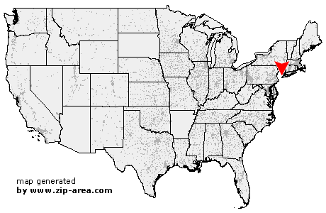
| State: | New Jersey |
| County: | Union |
| Area code: | 908 |
| FIPS code: | 34039 |
| Time zone: | EST |
| ZIP codes: | 07201, 07202, 07206, 07207, 07208 |
|
calculate distance to another city

|
|
 Using the left mouse click, select the desired location on the map and you will receive a list of cities in the surrounding area. (Embed this map on your website.) |
Add the following HTML-code to your website: <a href="http://www.zip-area.com/new_jersey/elizabeth/" target="_blank"><img src="http://www.zip-area.com/new_jersey/images/map_elizabeth.png" alt="Elizabeth"></a> |
Cities close to Elizabeth |
|
| Garwood (7.69 mi) | Iselin (10.00 mi) |
| Colonia (8.95 mi) | Clark (7.77 mi) |
| Fords (11.28 mi) | Cranford (6.62 mi) |
| Millburn (7.31 mi) | Kenilworth (5.77 mi) |
| Woodbridge (9.84 mi) | Vauxhall (6.42 mi) |
| Rahway (6.88 mi) | Maplewood (6.69 mi) |
| Avenel (7.74 mi) | Union (5.00 mi) |
| Roselle Park (4.61 mi) | West Orange (9.30 mi) |
| South Orange (6.88 mi) | Roselle (4.43 mi) |
| Sewaren (9.03 mi) | Port Reading (7.97 mi) |
| Linden (4.44 mi) | Orange (7.33 mi) |
| Irvington (4.61 mi) | Carteret (6.50 mi) |
| Hillside (3.16 mi) | Montclair (10.08 mi) |
| East Orange (7.11 mi) | Glen Ridge (9.29 mi) |
| Bloomfield (9.61 mi) | Elizabeth (0.00 mi) |
| Newark (3.69 mi) | Belleville (8.61 mi) |
| Harrison (5.26 mi) | North Arlington (8.49 mi) |
| Kearny (6.62 mi) | Lyndhurst (9.42 mi) |
| Bayonne (3.60 mi) | Staten Island (5.32 mi) |
| Jersey City (6.64 mi) | East Rutherford (11.16 mi) |
| Secaucus (9.65 mi) | |