

Linden
| Category: | City |
| State: | New Jersey |
| County: | Union |
| Area code: | 908 |
| FIPS code: | 34039 |
| Time zone: | EST |
| ZIP code: | 07036 |
|
calculate distance to another city

|
|
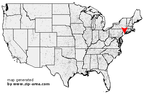 Using the left mouse click, select the desired location on the map and you will receive a list of cities in the surrounding area. (Embed this map on your website.) |
Add the following HTML-code to your website: <a href="http://www.zip-area.com/new_jersey/linden/" target="_blank"><img src="http://www.zip-area.com/new_jersey/images/map_linden.png" alt="Linden"></a> |
Cities close to Linden |
|
| Scotch Plains (6.84 mi) | Summit (8.97 mi) |
| Metuchen (8.68 mi) | Mountainside (7.37 mi) |
| Westfield (5.77 mi) | Short Hills (9.40 mi) |
| Springfield (6.73 mi) | Garwood (4.73 mi) |
| Iselin (5.56 mi) | Colonia (4.59 mi) |
| Keasbey (8.66 mi) | Clark (3.80 mi) |
| Fords (6.90 mi) | Cranford (3.99 mi) |
| Millburn (7.43 mi) | Kenilworth (4.43 mi) |
| Woodbridge (5.54 mi) | Vauxhall (6.77 mi) |
| Rahway (2.49 mi) | Maplewood (7.70 mi) |
| Perth Amboy (7.38 mi) | Avenel (3.38 mi) |
| Union (4.97 mi) | Roselle Park (3.07 mi) |
| South Orange (8.58 mi) | Roselle (2.14 mi) |
| Sewaren (5.04 mi) | Port Reading (4.01 mi) |
| Linden (0.00 mi) | Orange (9.83 mi) |
| Irvington (6.80 mi) | Carteret (2.87 mi) |
| Hillside (4.88 mi) | Elizabeth (4.44 mi) |
| Newark (7.62 mi) | Harrison (9.38 mi) |
| Kearny (10.92 mi) | Bayonne (7.25 mi) |