

Westfield
| Category: | City |
| State: | New Jersey |
| County: | Union |
| Area code: | 908 |
| FIPS code: | 34039 |
| Time zone: | EST |
| ZIP codes: | 07090, 07091 |
|
calculate distance to another city

|
|
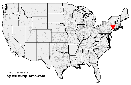 Using the left mouse click, select the desired location on the map and you will receive a list of cities in the surrounding area. (Embed this map on your website.) |
Add the following HTML-code to your website: <a href="http://www.zip-area.com/new_jersey/westfield/" target="_blank"><img src="http://www.zip-area.com/new_jersey/images/map_westfield.png" alt="Westfield"></a> |
Cities close to Westfield |
|
| New Vernon (9.40 mi) | Gillette (7.99 mi) |
| Dunellen (7.75 mi) | Piscataway (9.36 mi) |
| Green Village (8.78 mi) | Watchung (5.95 mi) |
| Plainfield (4.65 mi) | Berkeley Heights (4.75 mi) |
| Madison (8.67 mi) | Chatham (6.52 mi) |
| South Plainfield (6.28 mi) | New Providence (4.50 mi) |
| Edison (9.43 mi) | Florham Park (9.24 mi) |
| Fanwood (2.16 mi) | Scotch Plains (2.48 mi) |
| Summit (4.64 mi) | Metuchen (7.43 mi) |
| Mountainside (2.36 mi) | Westfield (0.00 mi) |
| Short Hills (6.54 mi) | Livingston (9.51 mi) |
| Springfield (3.63 mi) | Garwood (1.17 mi) |
| Iselin (5.57 mi) | Colonia (4.17 mi) |
| Keasbey (9.43 mi) | Clark (2.61 mi) |
| Fords (7.57 mi) | Cranford (2.25 mi) |
| Millburn (5.65 mi) | Kenilworth (3.60 mi) |
| Woodbridge (7.25 mi) | Vauxhall (5.73 mi) |
| Rahway (4.43 mi) | Maplewood (6.92 mi) |
| Perth Amboy (9.47 mi) | Avenel (5.98 mi) |
| Union (5.08 mi) | Roselle Park (4.29 mi) |
| West Orange (10.65 mi) | South Orange (8.24 mi) |
| Roselle (4.49 mi) | Sewaren (8.04 mi) |
| Port Reading (7.54 mi) | Linden (5.77 mi) |
| Orange (10.09 mi) | Irvington (7.92 mi) |
| Carteret (7.50 mi) | Hillside (6.91 mi) |
| East Orange (11.16 mi) | |