

Belleville
| Category: | City |
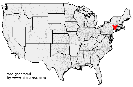
| State: | New Jersey |
| County: | Essex |
| Area code: | 973 |
| FIPS code: | 34013 |
| Time zone: | EST |
| ZIP code: | 07109 |
|
calculate distance to another city

|
|
 Using the left mouse click, select the desired location on the map and you will receive a list of cities in the surrounding area. (Embed this map on your website.) |
Add the following HTML-code to your website: <a href="http://www.zip-area.com/new_jersey/belleville/" target="_blank"><img src="http://www.zip-area.com/new_jersey/images/map_belleville.png" alt="Belleville"></a> |
Cities close to Belleville |
|
| Fairfield (9.58 mi) | Cranford (12.09 mi) |
| Lincoln Park (11.57 mi) | Millburn (8.78 mi) |
| Kenilworth (10.44 mi) | Vauxhall (8.35 mi) |
| Caldwell (7.39 mi) | Essex Fells (6.52 mi) |
| Maplewood (7.30 mi) | Union (8.94 mi) |
| Roselle Park (10.49 mi) | West Orange (5.27 mi) |
| South Orange (6.04 mi) | Roselle (11.08 mi) |
| Verona (5.00 mi) | Orange (4.23 mi) |
| Irvington (6.09 mi) | Hillside (7.68 mi) |
| Cedar Grove (5.51 mi) | Totowa (8.21 mi) |
| Montclair (3.19 mi) | East Orange (2.85 mi) |
| Little Falls (6.53 mi) | Glen Ridge (2.29 mi) |
| Bloomfield (1.66 mi) | Elizabeth (8.61 mi) |
| Newark (4.92 mi) | Paterson (8.14 mi) |
| Belleville (0.00 mi) | Nutley (1.70 mi) |
| Harrison (3.55 mi) | Clifton (5.95 mi) |
| Passaic (4.67 mi) | North Arlington (1.95 mi) |
| Kearny (3.41 mi) | Elmwood Park (7.92 mi) |
| Fair Lawn (10.02 mi) | Lyndhurst (2.69 mi) |
| Bayonne (9.40 mi) | Rutherford (3.49 mi) |
| Garfield (6.47 mi) | Wallington (4.98 mi) |
| Saddle Brook (8.28 mi) | Wood Ridge (5.36 mi) |
| Lodi (7.16 mi) | Rochelle Park (8.88 mi) |
| Jersey City (6.38 mi) | East Rutherford (4.66 mi) |
| Hasbrouck Heights (6.55 mi) | Secaucus (5.18 mi) |
| Maywood (9.06 mi) | Teterboro (6.86 mi) |
| Carlstadt (5.64 mi) | Moonachie (6.39 mi) |
| South Hackensack (7.56 mi) | Hackensack (8.89 mi) |
| Little Ferry (7.36 mi) | River Edge (11.16 mi) |
| Union City (7.03 mi) | Hoboken (7.63 mi) |
| Bogota (8.90 mi) | North Bergen (7.11 mi) |
| Weehawken (7.60 mi) | Ridgefield Park (8.50 mi) |
| New Milford (12.16 mi) | |